
Butler County ZIP Code Coverage
Butler County has several municipal, township, postal, school, and tax geographies. The table uses the official Census TIGERweb 2020 ZCTA intersections documented in the research. A ZCTA is a statistical approximation of a ZIP area, not an official United States Postal Service delivery boundary. It therefore includes border and interstate candidates instead of pretending that each row is a current Butler County delivery ZIP. Use the postal-service lookup for the exact street before naming a post office or assigning an address to an area.
| ZIP | Areas Covered | Post Office | Notes |
|---|---|---|---|
| 45003 | College Corner, northwest border | Confirm with USPS | Border candidate. |
| 45005 | Franklin, northeast border | Confirm with USPS | Border-overlap candidate. |
| 45011 | Hamilton | Confirm with USPS | Principal Hamilton area. |
| 45013 | Hamilton and Fairfield | Confirm with USPS | Principal county area. |
| 45014 | Fairfield | Confirm with USPS | Principal Fairfield area. |
| 45015 | Hamilton | Confirm with USPS | Principal Hamilton area. |
| 45030 | Harrison vicinity | Confirm with USPS | Southeast border candidate. |
| 45036 | Lebanon vicinity | Confirm with USPS | Northeast border candidate. |
| 45040 | Mason vicinity | Confirm with USPS | East border candidate. |
| 45042 | Middletown | Confirm with USPS | Principal Middletown area. |
| 45044 | Middletown | Confirm with USPS | Principal Middletown area. |
| 45050 | Monroe | Confirm with USPS | East and southeast county area. |
| 45053 | Okeana | Confirm with USPS | Southwest county area. |
| 45055 | Overpeck | Confirm with USPS | Rural county area. |
| 45056 | Oxford | Confirm with USPS | Principal Oxford area. |
| 45062 | Rural vicinity | Confirm with USPS | Border candidate. |
| 45064 | Somerville | Confirm with USPS | West and central rural area. |
| 45067 | Trenton | Confirm with USPS | East county area. |
| 45069 | West Chester | Confirm with USPS | Principal county area. |
| 45231, 45240, 45241, 45246, 45249, 45251, 45252 | Cincinnati, Forest Park, Sharonville, Springdale, and nearby southern labels | Confirm with USPS | Do not treat as Butler-only ZIPs. |
| 45311 | Camden | Confirm with USPS | North and west county area. |
| 45327 | Germantown | Confirm with USPS | North and east border candidate. |
| 47003, 47010, 47012, 47016, 47060 | Southeastern Indiana vicinity | Confirm with USPS | Interstate candidates, not an Ohio delivery claim. |
No official bulk table of active street-delivery, post-office-box-only, or unique ZIP Codes was available during the research. The correct practice is address-by-address confirmation, not an unsupported claim that every ZCTA intersection is an active local delivery code.
Butler County Principal ZIP Areas
The most clearly identified local areas in the ZCTA inventory are Hamilton 45011 and 45015, the Hamilton and Fairfield area 45013, Fairfield 45014, Middletown 45042 and 45044, Oxford 45056, West Chester 45069, Monroe 45050, Trenton 45067, and the rural labels Okeana 45053, Overpeck 45055, and Somerville 45064. These are orientation labels from the intersecting layer. They help select a starting area, not a substitute for checking the actual delivery address.
A particular property can use a Hamilton, Middletown, Fairfield, Oxford, West Chester, Monroe, Trenton, rural, or Cincinnati-area postal label while its parcel belongs to a different governmental unit. That distinction matters when selecting a permit counter, city record route, tax district, or court custodian. The Auditor parcel profile and GIS viewer identify the municipal and township setting that a postal label cannot settle.
Note: Treat an area name in this table as postal orientation only until a complete address is verified through the postal-service lookup.
Butler County Border ZIPs
Border ZIPs are the central geography issue for this directory. The inventory includes Franklin, Harrison, Lebanon, Mason, Germantown, and the southern Cincinnati-area labels because their ZCTAs intersect Butler County. The Indiana group also appears because it is an interstate intersection candidate. None should be presented as a Butler County-only delivery zone. A Census ZCTA can cross municipal, county, and state lines, while a ZIP Code is a postal-delivery tool.
The USPS ZIP Code Lookup is the authoritative next step for a known street address. Enter the complete address and retain the returned postal ZIP and city label with the record notes. A street can cross a local boundary, and a similar postal label can point away from the office that keeps the relevant county or municipal record.
The USPS ZIP Code Lookup screen is the proper starting point for an address-specific Butler County ZIP code check.
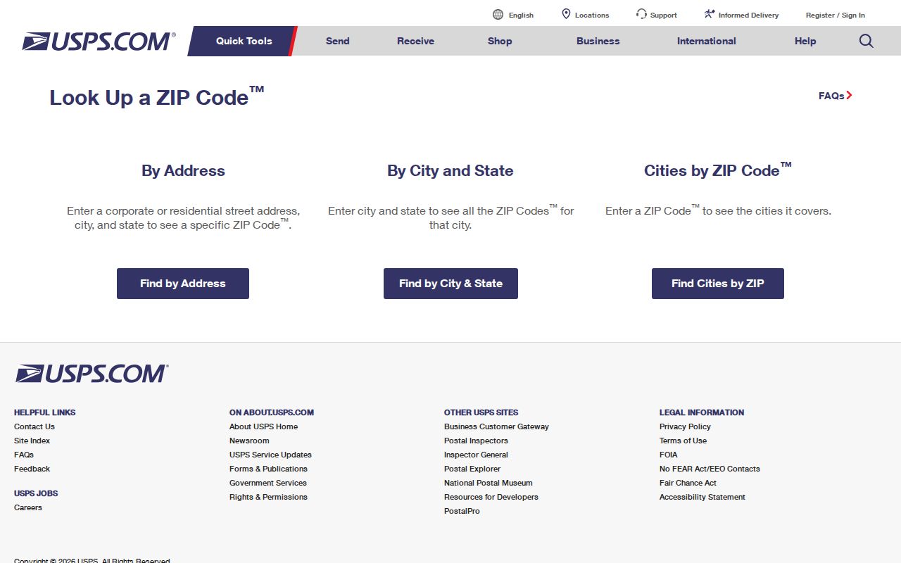
Use the verified delivery result with the parcel location, rather than using a broad ZCTA as evidence of a specific post office or jurisdiction.
Search a Butler County ZIP Code
A ZIP is best used to verify a known postal address and then narrow the appropriate address-based record channel. Butler County's basic Auditor owner, address, and parcel screens have no ZIP field. The GIS viewer accepts a PIN, owner, or address rather than a ZIP-wide resident or parcel query. This means a postal code will not generate a dependable list of people or properties across a county area.
- Enter the complete street address in USPS ZIP Code Lookup and record the returned postal ZIP and city label.
- Check the address in the Butler County Auditor property search using the street number and street name, or use a known PIN. Record the situs, legal description, and municipality or township context.
- If a permit, planning, building, water, or sewer application is relevant, use the County Accela address form with the documented address components and ZIP field.
- Use the parcel PIN, street address, and legal description for Recorder or city-office research. Once the postal area is narrowed to a road, the Butler County street directory provides the parcel-to-deed workflow.
Ohio's official voter lookup is an individual confirmation tool, not a ZIP-browse roster. County address and postal records should be kept separate from any assumption about who lives throughout a postal area.
Butler County ZIP Search Fields
Butler County Accela is the documented county portal that exposes ZIP controls in a detailed address form. Its Citizen Portal covers Building, Planning, Water & Sewer, property information, and licensees. Anonymous viewing is stated to be available, although registration is needed for all services. The fields can narrow a particular application search. They do not create a ZIP-wide property-owner export or establish a household at the address.
| Accela field | Type | Required | Options or format |
|---|---|---|---|
| Search type | Dropdown | Yes | Site Address, Contractor License Information, Parcel Number, Record Information, or Contact Information. |
| Record Number | Text | No | Exact or known application or record reference. |
| Start Date / End Date | Date inputs | No | MM/DD/YYYY. |
| Street No. | Two text inputs | No | Start and end range. |
| Direction / Street Name / Street Type | Dropdown and text | No | Address components; the form example shows N and Main. |
| Unit Type / Unit No. | Dropdown and text | No | Example shown: Apt / 5. |
| Parcel No. | Text | No | County parcel reference. |
| City / State / Zip / Country | Text, ZIP boxes, dropdown | No | ZIP is present here, unlike basic Auditor property search. |
The Butler County Citizen Portal shows the service categories that lead to the detailed application search.
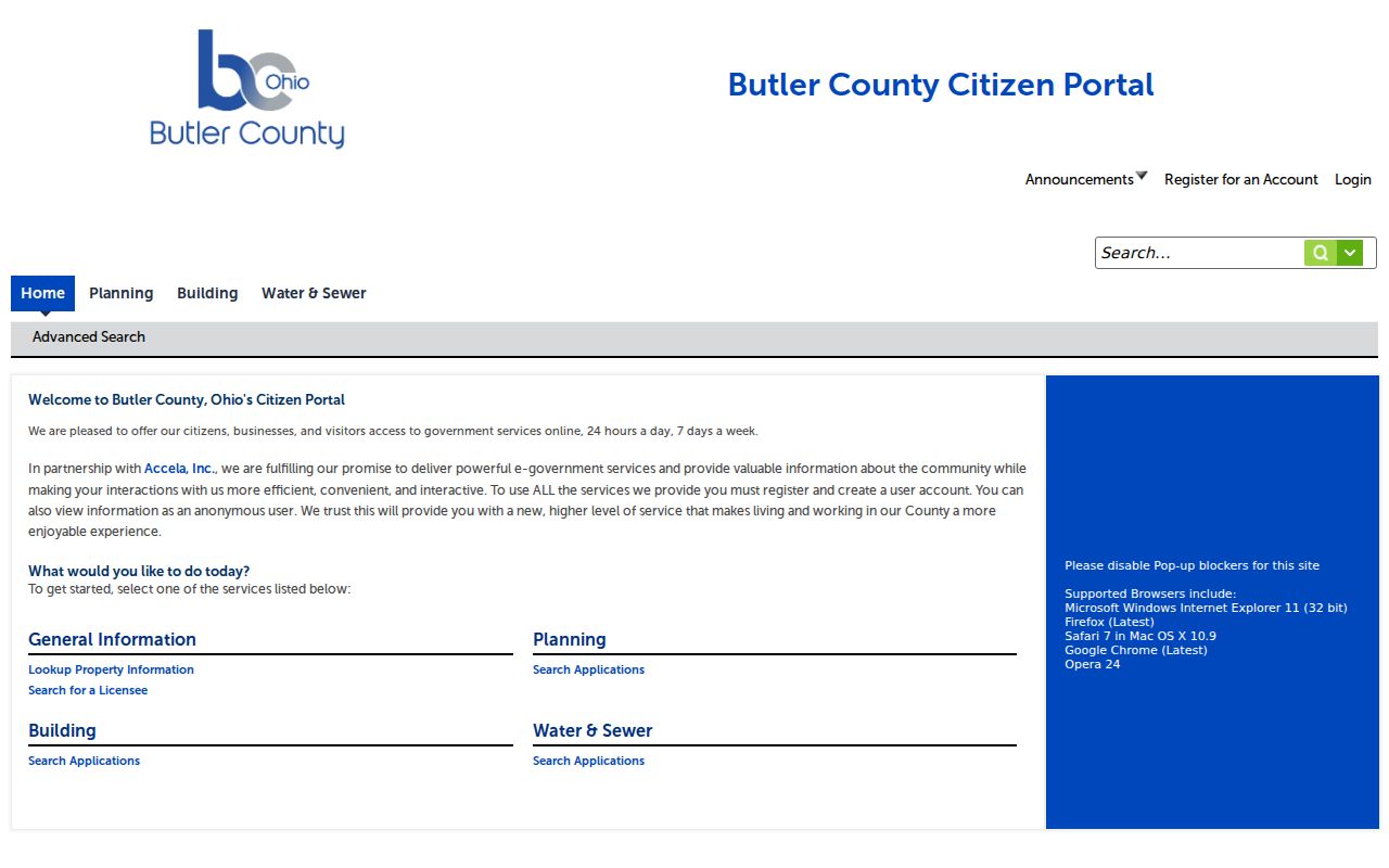
When an online result is unavailable, use the responsible county or city department with an address, parcel number, approximate date, and record type in a targeted request.
Butler County ZIP Portal Limits
The difference between the portals is useful. The Auditor's basic owner, address, and parcel forms do not have a ZIP control. The GIS viewer searches by PIN, owner, or address and provides parcel geography. Accela's detailed address form includes City, State, and Zip. That makes Accela the ZIP-capable application channel, while the Auditor and GIS remain the better sources for parcel identification and map context after the full address is known.
County-level context should not be mistaken for ZIP coverage either. The Butler County QuickFacts view is a county data screen, not a delivery-boundary map or an address directory.
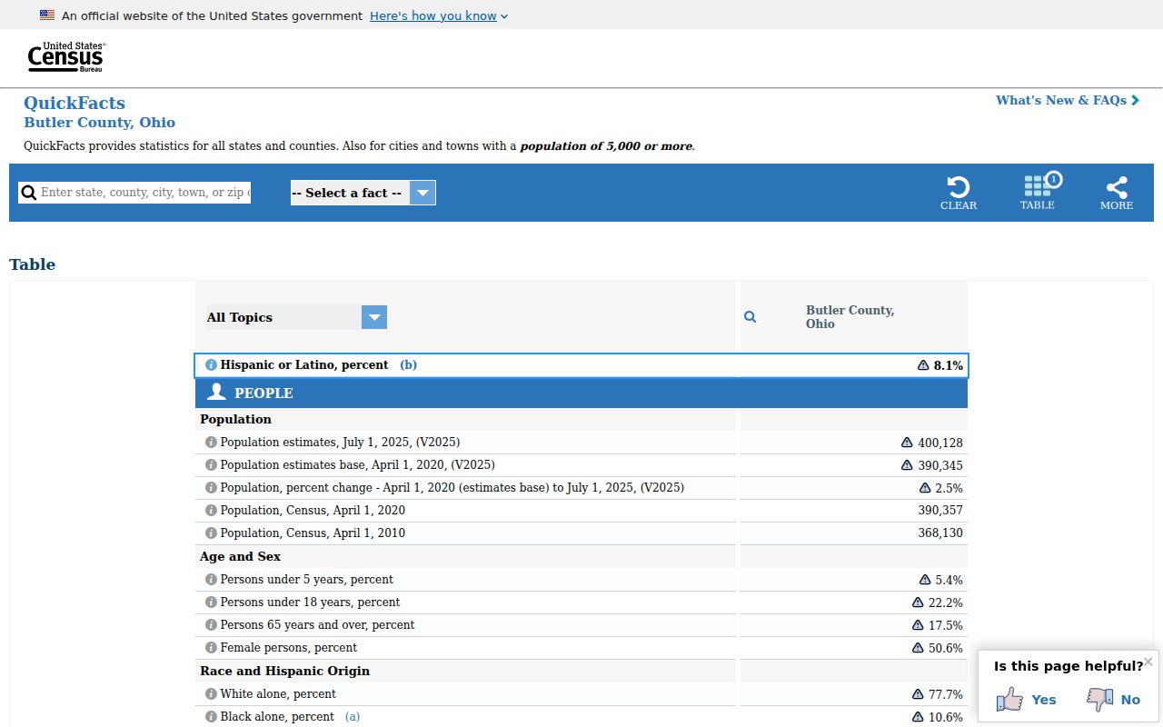
Use county context for county questions, then return to USPS and the parcel record for the particular street address.
Butler County ZIP Address Types
Three address types need to stay separate in Butler County records. The situs is the physical parcel location. The mailing address is where tax correspondence goes. The legal description is the lot, block, subdivision, or metes-and-bounds and township wording recorded in land instruments. The Auditor PIN profile joins situs and assessment information; Recorder documents join legal description and title; a postal ZIP helps verify delivery. None of the three should be substituted for another.
- ZIP Code
- A postal-delivery code. It does not establish a city, county, or parcel boundary.
- ZIP+4
- The additional four digits used with a ZIP Code to refine a delivery segment for a complete mailing address.
- PO-box ZIP
- A postal code used for post-office-box delivery, which should not be assumed to describe street delivery.
- Unique ZIP
- A ZIP assigned for a particular delivery purpose; the research did not identify a Butler County example to list.
- Carrier route
- A postal delivery grouping, not a governmental or parcel boundary.
Tax mail can go to an agent, fiduciary, post-office box, or address outside the parcel area. Read it as tax correspondence, not a current household location.
Butler County ZIP Boundaries
ZIP Code boundaries and local-government limits do not match. In an unincorporated pocket, a city name in a mailing address can be a postal convention rather than the municipality that issues permits or keeps a local court record. Confirm the municipality, township, school district, and tax district through the Auditor or GIS data before directing a records request to a city office. Middletown requires extra care because it includes land in Butler and Warren counties.
A postal verification result is still valuable. It can prevent a search from starting with the wrong city label. It simply does not replace the parcel record, map, or legal description when a question involves a Butler County office.
Postal check. Use USPS to confirm delivery, then use Butler County parcel geography to identify the local office that actually holds the requested record.
Historic Butler County Addresses
Modern ZIP Codes do not solve historic address work. An older deed or directory may use a different street spelling, road name, ward, rural route, apartment notation, or city label. No official source reviewed for Butler County established a countywide renumbering or renaming chronology. The safe method is to bridge the old and current forms with a parcel PIN, legal description, subdivision lot or block, historic plat or atlas, closest-year Sanborn map, and the Recorder's historical geographic index.
The Williams Hamilton Street Directory and the Middletown householder and street guide can add a date-specific address reference where an inspected volume contains the needed section. Lane Libraries' local-history centers hold directories, maps, newspapers, yearbooks, and related material, and accept research requests for property histories. Treat a directory entry as evidence for its edition, then compare it with a deed, map, or census record from a close period.
Note: A current postal ZIP should never be added to a historic record merely because the address appears to have the same modern street name.
Butler County ZIP Channels
Start online with USPS for delivery verification and Accela when a ZIP-capable application search fits the record type. Then use the Auditor property search or GIS viewer for the parcel. The Recorder's Cloud Search supplies the title and instrument trail once an owner, parcel, or legal description is known. For material that cannot be retrieved online, the appropriate channel is the county or municipal counter, a targeted public-records request, the Recorder's historical books, or local-library research collections.
Ohio Public Records Act, ORC 149.43, provides a right to inspect public records promptly and receive copies within a reasonable period, subject to exemptions. Inspection is free and an office may charge for copies. A request should name the identifiable record sought, rather than ask an office to create a ZIP-wide list of residents.