
Butler County Neighbors by Block
A block search has a defined public-record boundary. The Auditor and GIS viewer are useful for parcels immediately around one known address. The Recorder adds a title or instrument trail when it is needed. Ohio election tools can support a limited, lawful registration question, but the individual lookup is not a browse-by-street roster. Historic street guides add dated household context only when the volume actually includes a reverse or street section.
| Source | What It Shows About a Block | Access |
|---|---|---|
| Auditor GIS viewer | Nearby PINs, parcel geometry, owner or situs labels, tax-mail fields, and approximate distance | Search, click, or use a tight proximity buffer |
| Auditor parcel profile | Transfer clues, legal description, values, tax fields, owner and situs distinctions | Open each PIN in the county property channel |
| Recorder instrument index | Title and recorded-document trail for a selected parcel | Search party names or legal description; it is not an occupant roster |
| Election tools | Statutorily public registration material and approved reports | Individual lookup is not street browsing; redactions apply |
| Hamilton neighborhood resource | Neighborhood-level civic resource path | Official 17-neighborhood and 17Strong information, not a member list |
| Historic street guide | A listed householder at an address for a dated edition | MidPointe’s verified 1949 Middletown street guide |
Parcel ownership and a tax-mail field do not confirm who is currently at the property. Keep the PIN, source, and date with each result. That makes a block review useful for property curiosity, family history, or civic context without turning land records into a list of private households.
Butler County GIS Buffer Search
The Butler County Auditor GIS Viewer has one search field labeled “Search by PIN, Owner, or Address.” Its configured results show PIN, OWNER, and LOCATION, allow partial matching, and provide up to six suggestions or results. Once the target parcel is identified, nearby polygons can be clicked or selected with the proximity tool instead of trying to query a large section of the county.
| GIS control | Documented behavior | Best block use |
|---|---|---|
| PIN, owner, or address search | Text search with partial matching and map suggestions | Locate the starting parcel. |
| Parcel identify | Click map polygons and route a selected PIN to its property record | Compare directly adjacent parcels one at a time. |
| Proximity buffer | Default distance is 100, with Feet or Meters and Center Points or Polygons choices | Use Select By Buffer for a small surrounding set. |
| Layers and imagery | Parcels, boundaries, roads, flood layers, and historic imagery layers are available | Check parcel geography and local boundaries before choosing an office. |
| Export and measure | Distance measurement and image or PDF export options are provided | Save a dated research note, not a claim about occupants. |
The public parcel layer has a 2,000-feature query limit. That is a useful reason to keep a Butler County neighbors search to one block or a tight radius. A tight buffer is more precise and less likely to mix an unrelated area into the result set.
Butler County Neighbor Parcel Limits
A GIS result and a property profile answer related but different questions. The map gives parcel location and surrounding geometry. The property profile gives fields such as the owner label, situs, legal description, tax summary, valuation history, and transfer clues. The map and profile should be read together before a block is compared.
Three address ideas need separate labels. A situs is the physical parcel location. A tax-mail address is where correspondence is sent. A legal description uses lot, block, subdivision, metes-and-bounds, or township language to identify the land in recorded instruments. None of those fields creates a record of every individual associated with the parcel.
When a specific nearby parcel needs a title check, use the Butler County Recorder Cloud Search with the owner, legal description, document number, or book and page where available. The Recorder’s result is a document trail, not evidence of current occupancy.
Note: Label every address field by its official purpose before comparing it with another parcel or any dated historical record.
Butler County Neighbors in Hamilton
Hamilton’s official neighborhood resource is the defensible community layer for Butler County neighbors. The city says Hamilton has 17 neighborhoods, and 17Strong helps connect neighbors with resources. It can help identify a civic context for a Hamilton address, but the reviewed sources did not establish an official household, association-member, block-watch, congregation, or club roster for the county.
The City of Hamilton neighborhood page shows the city’s neighborhood and 17Strong resource connection.
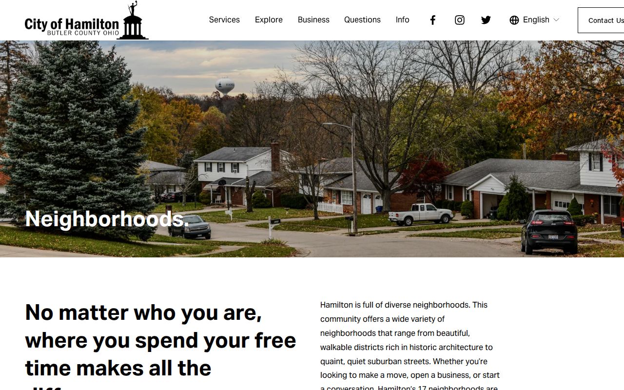
The resource is useful for place-based contacts and programs. It does not establish that any named person participates in a group or lives within a particular neighborhood.
Hamilton Neighborhoods
Coverage: The official city resource identifies 17 neighborhoods. Use it to place a Hamilton address in a civic area, not to identify households.
17Strong
Role: The city describes 17Strong as a way to connect neighbors with resources. Confirm current contacts through the official city resource.
Butler County Neighbor Voter Limits
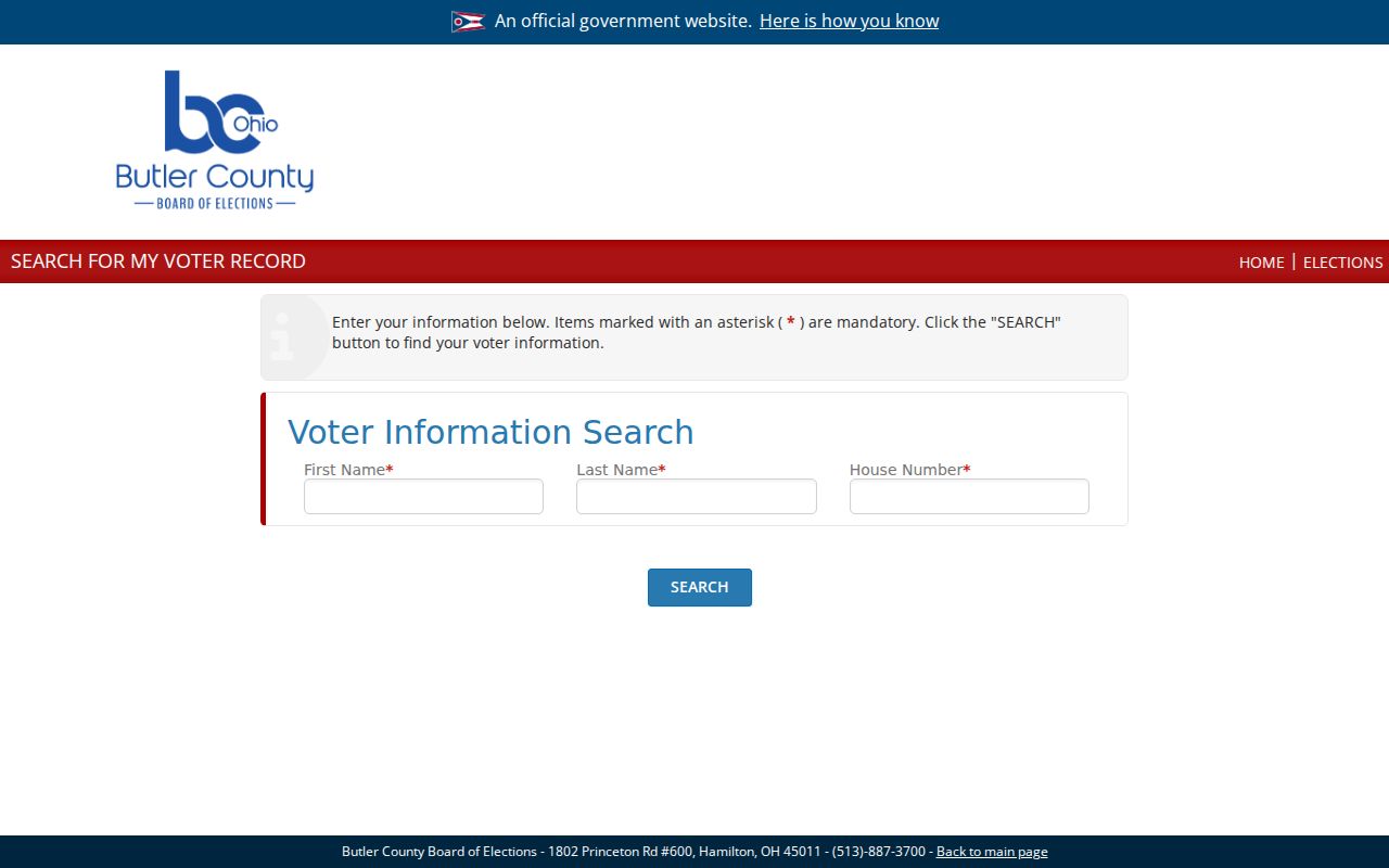
Ohio voter records are public within statutory limits, but the state’s individual lookup is for a named registration confirmation, not a neighborhood list. Butler County’s individual Voter Search requires first name, last name, and house number. Its separate public report tool has report, district, precinct, party, election, mail, and sorting controls, with dynamic option values that should be confirmed in the live tool before relying on a particular filter.
The Butler County individual Voter Search illustrates that narrowed input path.
ORC 3503.13 excludes protected and identifier data from otherwise public registration material. Participation and primary-party fields do not reveal ballot choices. A Safe at Home participant is removed from public voter databases, so a limited result must remain limited.
Butler County Historic Neighbors
Historical neighbors are a different research task. MidPointe’s 1949 Middletown directory contains a “Directory of Householders, including Street and Avenue Guide / Middletown Street Directory.” In that one inspected edition, a street or address can lead to a listed householder. The volume also contains alphabetical, telephone, classified, and city-guide material.
The 1949 Middletown directory is therefore a dated block source. Other city-directory years should be opened before assuming that they have the same reverse section or abbreviations. Pair a historic listing with a close census, map, deed, or newspaper source rather than treating it as current evidence.
Note: Historic street guides record an edition’s listed householders and publication conventions, so the edition date and address form should stay with every citation.
Map a Butler County Neighbor Block
A small, documented flow keeps the research tied to parcels. Start with one address, not a name. Then use the map to see the immediately surrounding parcels, and use the PIN to open the matching official record. The purpose is to understand the property pattern around a block, not to assemble a list of people.
- Enter the known address, owner, or PIN in the GIS viewer and confirm the target parcel’s LOCATION and PIN.
- Click adjacent polygons, or use Select By Buffer with a small distance, then save the returned PINs and approximate distances.
- Open each PIN in the Auditor profile to compare the owner label, situs, legal description, transfers, and tax-mail field without relabeling it.
- Use the Recorder only for a specific parcel’s instrument or title question, and log the document number, date, and legal description.
- For a full named-street record chain rather than the immediate block, use the Butler County Street Directory.
This sequence also avoids the false precision of assuming every nearby parcel is the same jurisdiction. GIS boundaries, municipality, township, and parcel information can point to different local offices.
Butler County Neighbor Tool Comparison
Official records and commercial neighbor-search products serve different purposes. A commercial category can assemble entries from many sources, but its update timing, duplicate-name risk, and correction process are not the same as the county office that maintains a parcel, docket, or voter record. Use the actual custodian whenever the distinction matters.
| Official county or state record | Commercial neighbor-search category | Careful use |
|---|---|---|
| Shows a defined record type, custodian, identifier, and access rule | May combine public and commercial material with variable update cycles | Compare the original custodian record before relying on a match. |
| Supports a targeted correction or copy request with the office | Uses the provider’s own review or suppression process | Correct the government file with its custodian, not through a third-party listing. |
| Has parcel, court, voter, or archive-specific limits | Cannot turn parcel data into a verified occupant list | Keep the question within the source’s documented scope. |
A result that conflicts with a current county record should be checked against the Auditor, Recorder, Board of Elections, or appropriate court, not repeated as a fact about a neighbor.
Note: A category result becomes useful only after its record date, original custodian, and source-specific limits are checked.
Butler County Neighbor Privacy
Property data can omit current occupants and household members. GIS cannot see beyond parcel boundaries. Motor-vehicle personal information, utility data, and delivery data are not general public neighbor sources. Court restrictions, voter redactions, and protected-address programs also apply. A neighborhood webpage is not permission for unwanted personal contact.
The Ohio Safe at Home program provides a substitute mailing address for qualifying survivors and removes participant voter records from public databases. Its presence is a clear instruction to respect a protected or missing record, not to search for an older substitute source.
Lawful use. Use Butler County neighbors records for personal, lawful property research, family history, civic context, and safety awareness. Stalking, harassment, threats, and attempts to defeat a protected address are prohibited under Ohio law.
Butler County Record Requests
When an online result does not answer a narrow parcel or court question, request the existing record from the office that holds it. The Ohio Public Records Act, ORC 149.43, provides inspection and copy access subject to exemptions. It also makes a focused request more useful: identify the office, record type, parcel or case number, date range, and preferred format.
For a map or parcel issue, begin with Auditor or GIS staff. For an instrument, begin with the Recorder. For an election-file question, contact the Board of Elections. For an older court document, ask the Clerk and Records Center about the correct route. Each office can explain what it holds and what privacy rule governs the requested record.